Under Moderate
Tree Cover
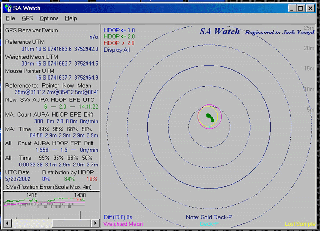
Meridian Gold
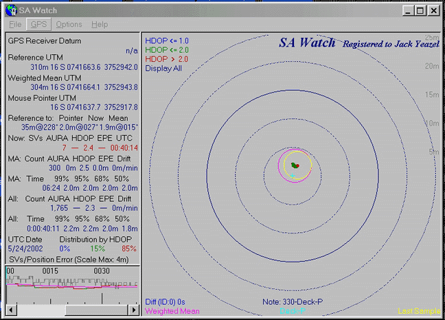
Magellan Map 330
Over a Survey Station in the Clear
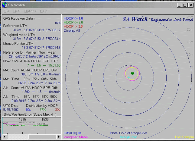
Meridian Gold
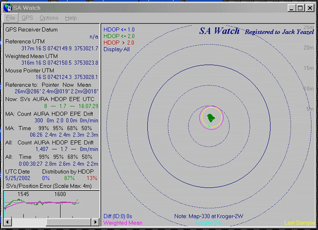
Magellan Map 330
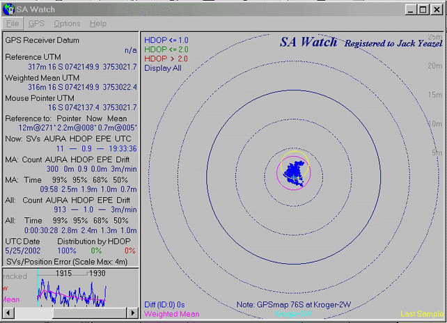
Garmin GPS map 76S
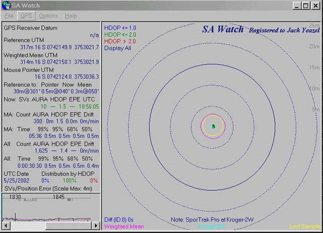
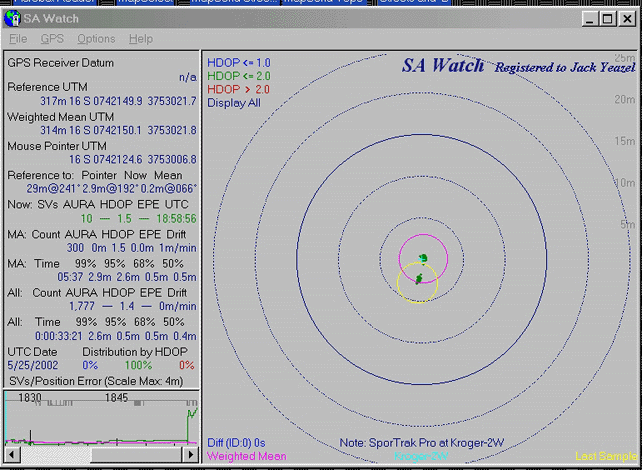
SporTrak Pro
Over a Survey Station in the Clear
Under Moderate
Tree Cover
Meridian Gold
Magellan Map 330
Over a Survey Station in the Clear
Meridian Gold
Magellan Map 330
Garmin GPS map 76S
SporTrak Pro
The next graphic was recorded while the above data was still being collected; however, the unit was moved about 2 meters south to see, if it was still "alive"!. Apparently it was.