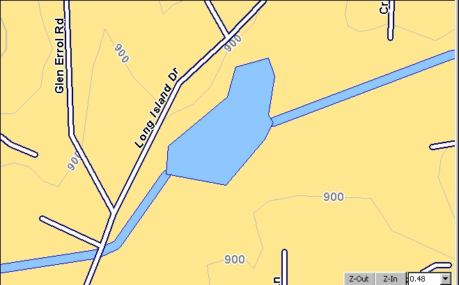
Lowrance USA Hunting Topo-6 (50-foot contours)
Magellan MapSend Topo USA-3 using 90m
x 90m Cells (contours lack detail)
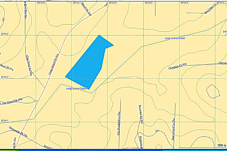
Magellan MapSend Topo 3-D Map
Using 30m x 30m Cells (30-foot Contours)
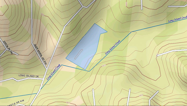
DeLorme Topo USA 6 "High" Display (10-foot
Contours)
Garmin USA TOPO U.S. 2008 from DEM
data (25-foot contours)
Garmin USA Topo Map from the USGS 1:100,000
topo maps (32-foot contours)
USGS 1:100,000 Topo Map from which
the Garmin maps are Derived (10m contours)
USGS 1:24,000 Topo DRG Map (10-foot
contours)
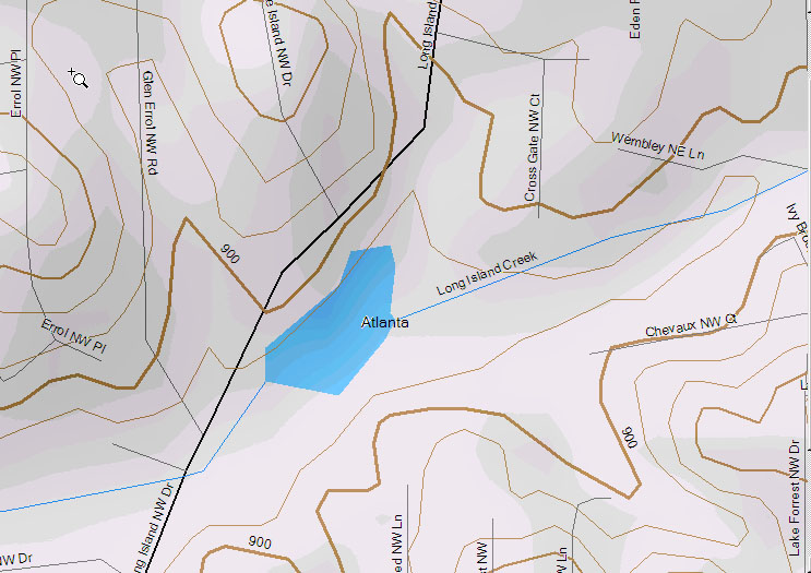
USAPhotoMaps
B&W Aerial Photo uses 30m x 30m cells from the same database
As the Magellan MapSend Topo 3-D Map.
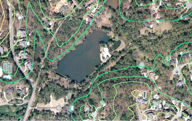
USAPhotoMaps
Color Aerial Photo uses 30m x 30m cells from the same database
As the Magellan MapSend Topo 3-D Map.