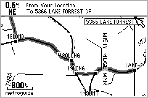
This is an example of how a route uploaded
from Street Atlas 5 will
"rubber-band" itself to the streets
between intersections.
And this is an example of the Inverse
Video feature available for
night viewing. Also notice
the "circle of estimated error"
