
Street Pilot Image
GM-100 Image
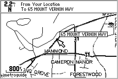
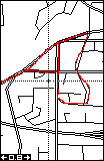
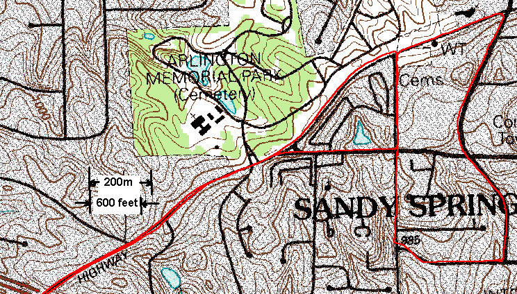
Here is a track made with a Garmin G-12XL 3.02 on April 20, 1997 with SA turned off. This was done to aid civilian volunteers looking for a downed Air Force Wart Hog. Messages come over the GPS News Group that SA seemed to be turned off. So, I grabbed a G12XL and an Eagle Explorer and went driving around the neighborhood. After plotting the tracks on a local DRG topo map, it was obvious that this was true. When stationary, the G-12XL and the EE agreed with each other to within 10 feet (3m). This doesn't mean the ACCURACY was that good, because atmospheric errors and multipath were common to both.
These plots were made by uploading the track (archived with Waypoint+) into a Garmin Street Pilot (with an ETAK map cartridge of the Atlanta area) and to a GlobalMap 100 (with MapCreate) and then downloading screen shots with G7ToWin. The track is made of 'dots' while the streets are made of 'dashes'. It's very hard to tell the tracks from the streets. In many cases they are on top of each other. The track runs along Mt. Vernon Hwy., beside the 'car', and north, east, and west of the 'knife and fork'.
Later the plot was downloaded to a USGS DRG topo map ising Ozi Explorer. The greatest topo error of the seven-mile drive (not all of it shown here) scales off to be 62 feet (19m.) It appears that the average error is about 20 feet or 6m. This, of course, assumes that the topo map is 'perfect'. However, the plots on top of each other confirm that the topo map must be at least as accurate as the GPS, or there would be no general agreements. MapCreate's Tiger maps aren't as accurate, but quite satisfactory.


Street Pilot Image
GM-100 Image


NOTE: You may check the accuracy of any Delorme or Garmin MapSource CD map in this same Atlanta area yourself by using (G7ToWin) to upload the complete track (FILE) to any Garmin receiver. Then download the track to any of the maps listed above and compare the track plot on them to the USGS topo maps. At the extreme south of the track is a 30-minute scatter plot while standing still on the back deck before driving off to the north-east.