And Canon Digital Rebel (July 2013)
Photos by Sarah Gilboe © ° Text and GPS maps by jack yeazel
Also check Sarah's trip to the North Pole (HERE)
Garmin WorldMap v4
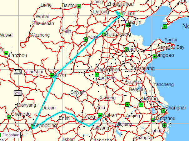
Overall Tracks of the China Visit
NOTE: Click on Thumbnails
Beijing, China - July 23, 24
 .....
..... .....
..... .....
.....
Beijing Zoo Entrance
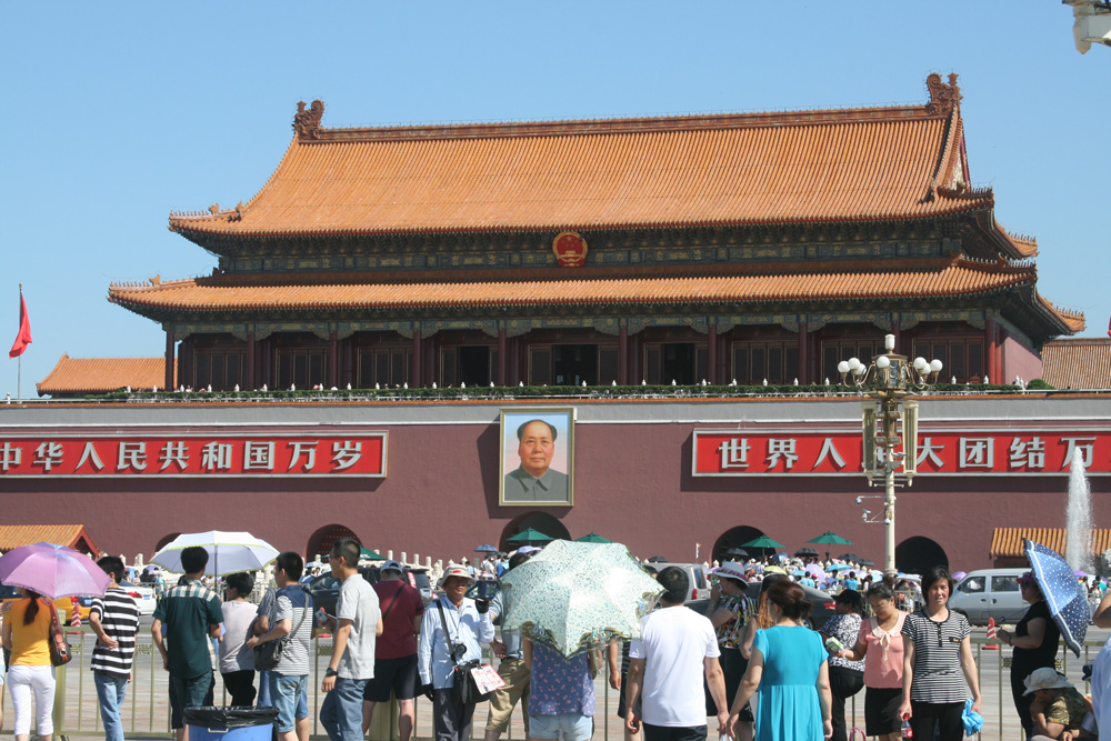
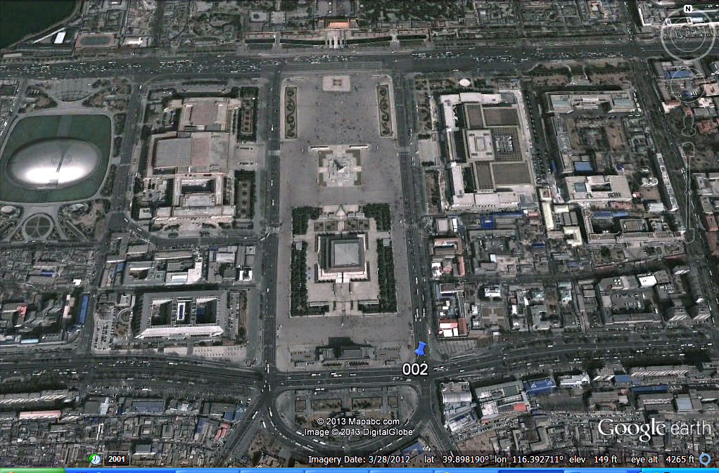
Tiananmen Square
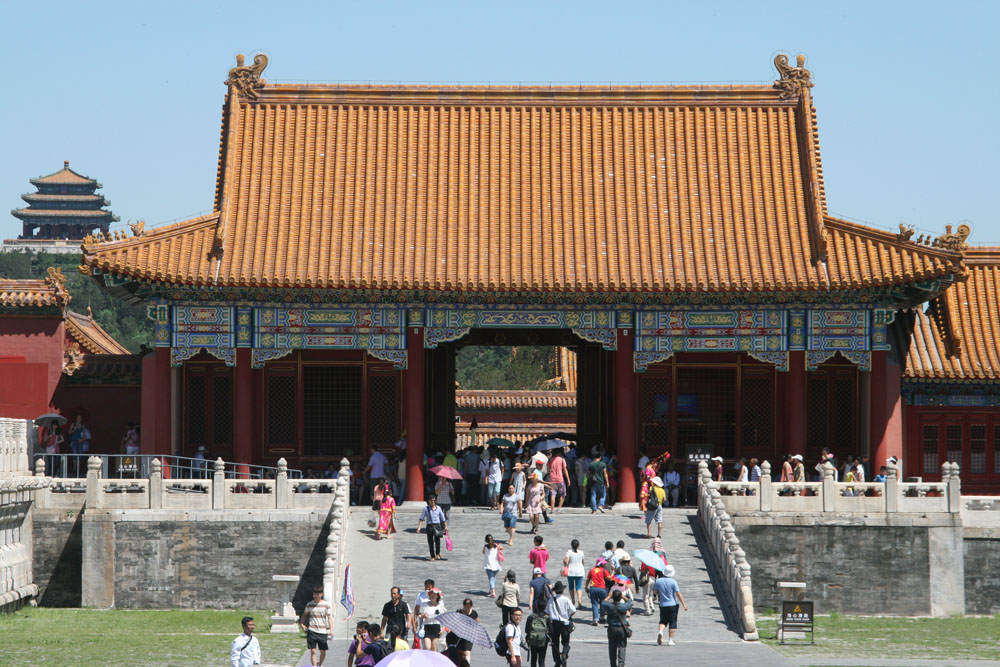
Forbidden City Entrance
Forbidden City Tower
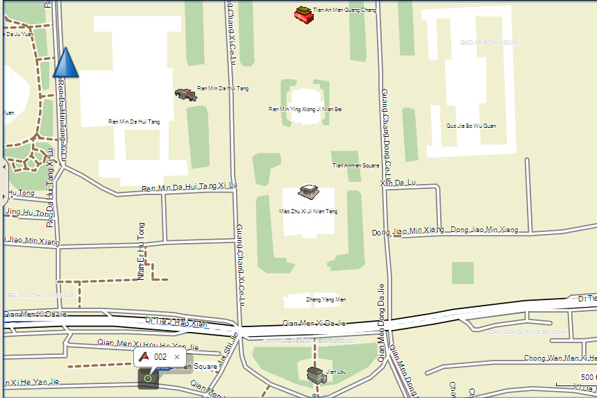
Tiananmen Square can accommodate over 1,000,000 people. It is named after the Tiananmen Gate (Gate of Heavenly Peace) located to its North, separating it from the Forbidden City. Tiananmen Square is the third largest city square in the world . It has great cultural significance as it was the site of several important events in Chinese history.
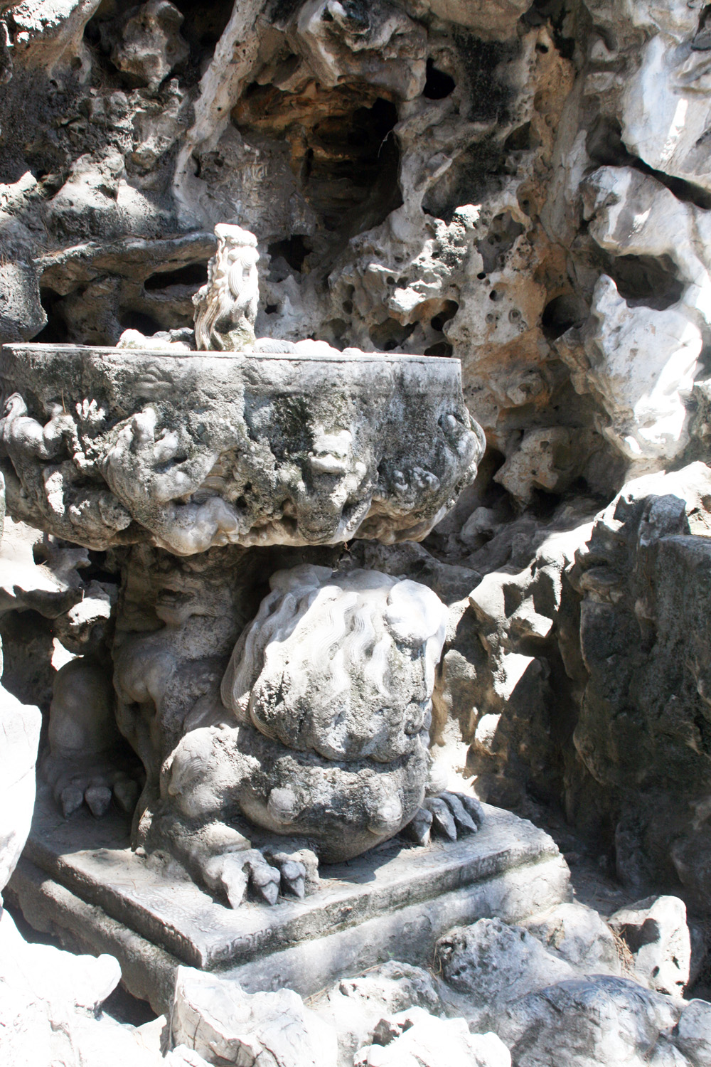
Forbidden City Details
 .....
..... .....
.....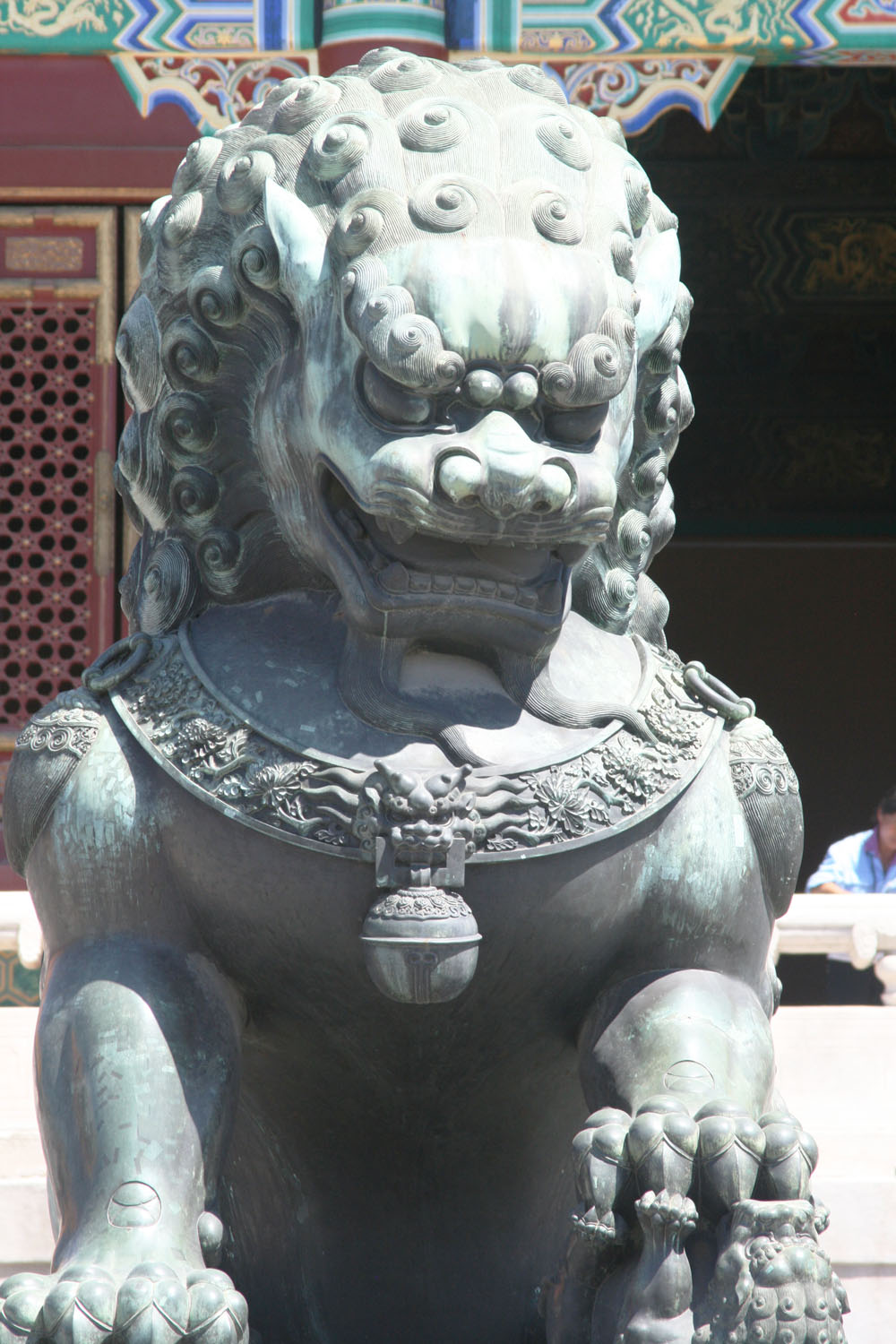
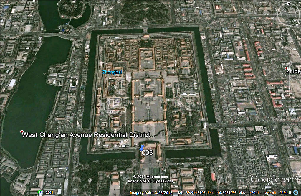
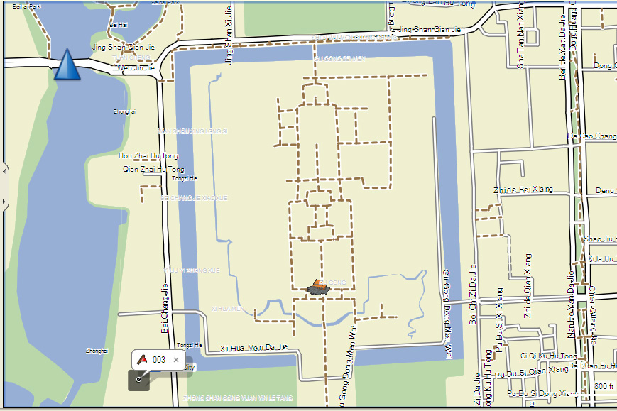
The Forbidden City was the Chinese imperial palace from the Ming Dynasty to the end of the Qing Dynasty. It is located in the center of Beijing, China, and now houses the Palace Museum. For almost 500 years, it served as the home of emperors and their households, as well as the ceremonial and political center of Chinese government. Built in 1406 to 1420, the complex consists of 980 buildings, and exemplifies traditional Chinese palatial architecture, and has influenced cultural and architectural developments in East Asia and elsewhere. The Forbidden City was declared a World Heritage Site in 1987, and is listed by UNESCO as the largest collection of preserved ancient wooden structures in the world.
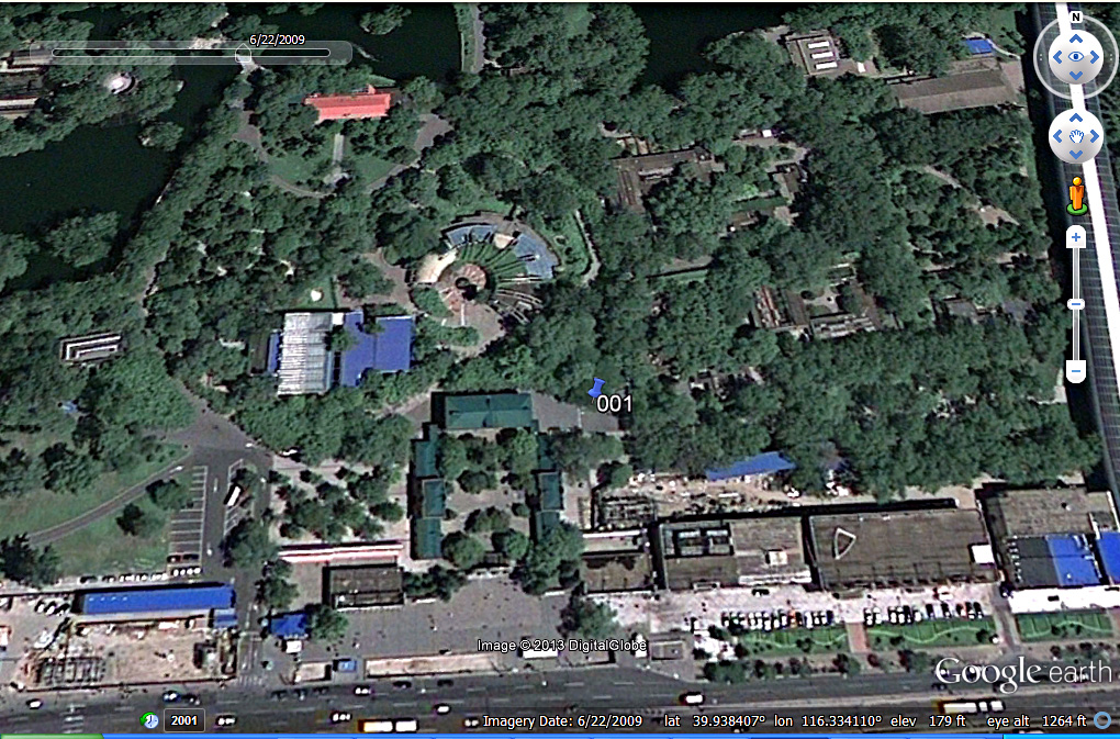
Google Earth Views from the GPSmap76 Waypoints
 .....
..... .....
..... .....
.....
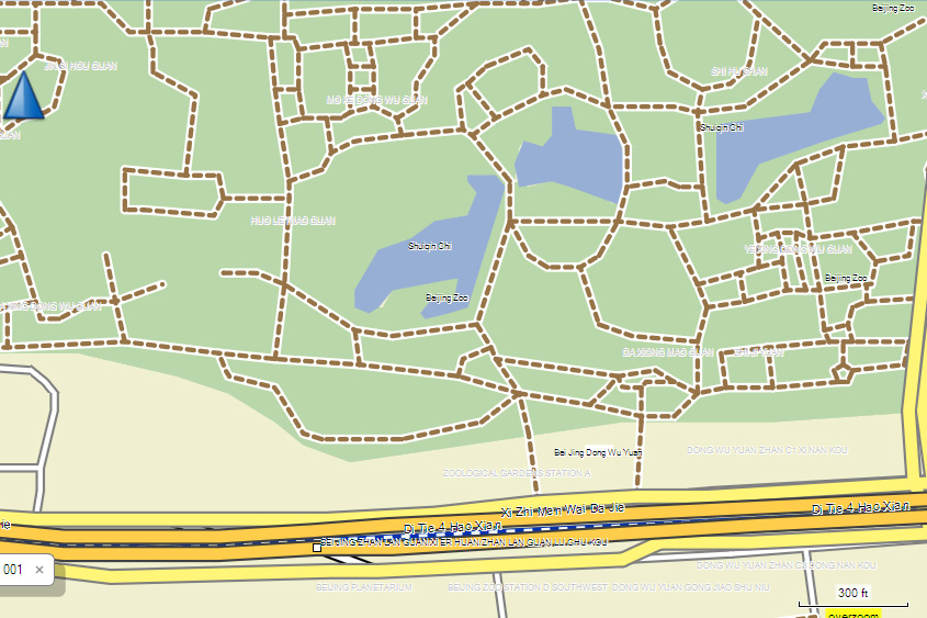
Beijing Zoo (001)
Tiananmen Square (002)
Forbidden City (003)
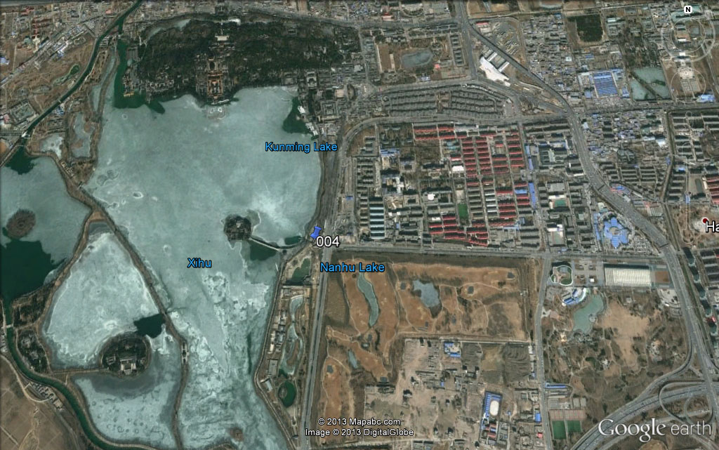
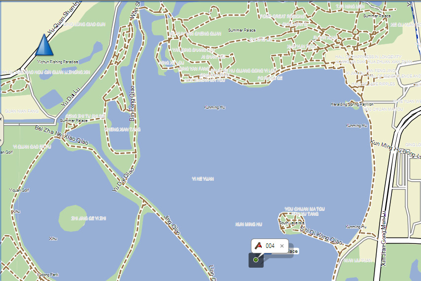
Summer Palace (004)
Garmin CN China NT 2011.40 ENG microSD card Map
 .....
..... .....
..... .....
.....
Beijing Zoo (001)
Tiananmen Square (002)
Forbidden City (003)
Summer Palace (004)
Garmin cautions that due to restrictions by the Chinese government, with most hand-held units (like the GPSmap 76Cx) the streets are off-set from their true position. In comparison to the Google Earth maps, they are displaced about 0.3 miles to the east, as can be seen in the comparisons above. However, most Garmin nüvi and some aviation units have a compensating feature to give the true position. Check for compatible units (HERE) and select Compatible Devices.
NOTES: In the case of the GPSmap 76Cx (a 'protocol' unit), once you use a microSD card for map storage, one can never again access the internal memory for map storage. Thus one must have a microSD card inserted to load maps, and each map upload will overwrite the stored map. To retain several maps, one must use a separate SD card for each map set. Waypoints, Tracks, and Routes stored in internal memory are not disturbed. Garmin's specifications for the GPSmap 76Cx indicate the maximum size of an SD card is 1 GB, but with the latest update (v. 3.40), the maximum size is increased to 4 GB.
The GPSmap 78sc (a 'mass-storage' unit) one can upload map sets into internal memory without disturbing the map in the SD card. in fact with a large SD card (up to 32 GB), one can charge the names of the unused maps from something other than 'gmapsupp.img' and store several map sets. These "rules" may also hold for other protocol and mass-storage units, such as the Dakota 20.