And comparison of BSB Chart Display with Ozi Explorer
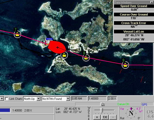
A vessel simulated moving along a route with time marks of predicted
future locations
The program computes the current and future tide levels at the "tide-gauge"
markers
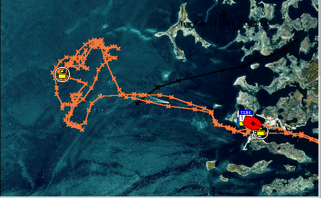
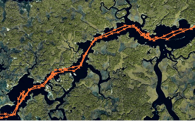
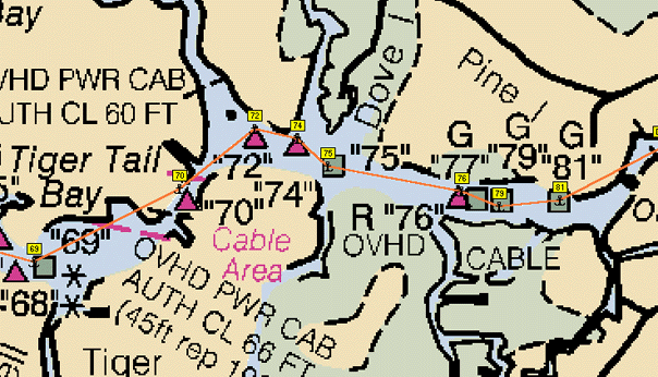
The orange tracks were made during a fishing trip out the Homosassa
River in 1996 with a G-45
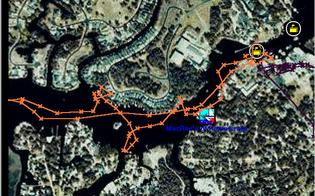
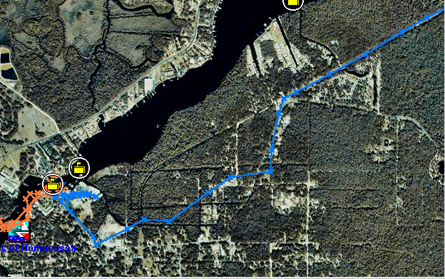
The blue track here was made on the local roads.
Tracks by Offshore Navigator, waypoints (yellow) are not named
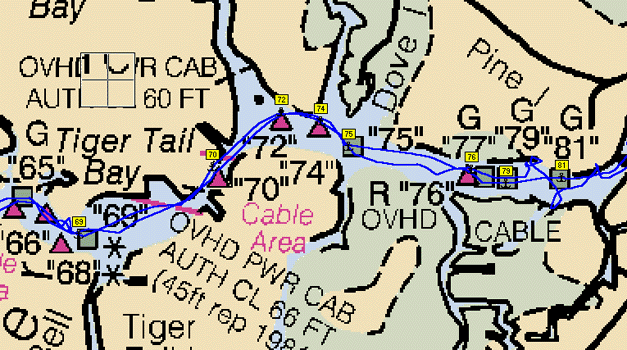
Tracks by Ozi Explorer, waypoints (yellow) are named.
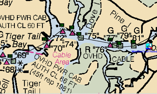
Route by Offshore Navigator, routepoint names are replaced by a "serial"
number.
Route by Ozi Explorer, routepoints are correctly named.